Showing 97–112 of 320 results
-
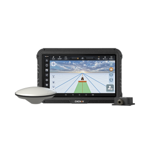
Guide 10 is a manual GPS guidance system that helps farmers steer tractors and other agricultural vehicles accurately during field operations such as plowing, fertilizing, and spraying. Equipped with an IMU sensor for terrain compensation, it delivers better accuracy in most conditions.
-
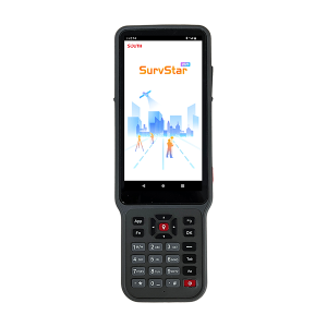
H10 Data Controller. Ask us for price, lead time and freight to your country.
-
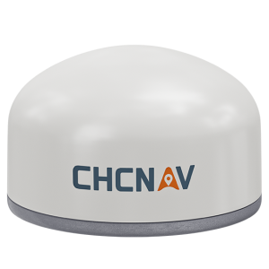
The H3 is a versatile intelligent GNSS receiver designed for monitoring critical infrastructure such as dams, bridges, and landslide-prone areas. It features an advanced antenna design that integrates the GNSS module, low-power interface board, communication modules, and MEMS sensor into a single compact unit.
-
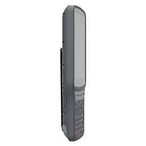
H6 (2025) Data Controller. Ask us for price, lead time and freight to your country.
-
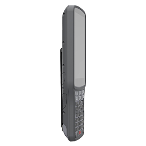
H6 Data Controller. Ask us for price, lead time and freight to your country.
-
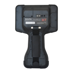
H7 Data Controller. Ask us for price, lead time and freight to your country.
-
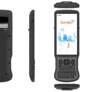
H9 Data Controller. Ask us for price, lead time and freight to your country.
-
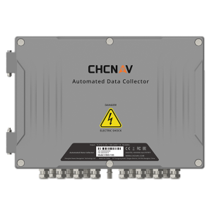
The H960 is a 16-channel automated data collector designed for long term, unattended monitoring. It supports a wide range of geotechnical and environmental sensors including rain gauges, vibrating wire piezometers, inclinometers, tiltmeters, water level gauges, stress and strain sensors, earth pressure gauges, and crack meters.
-
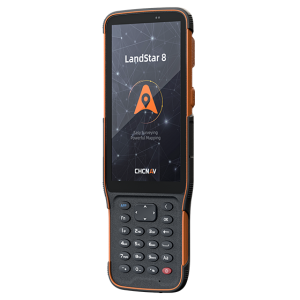
The HCE600 is a lightweight, professional Android data collector designed for field surveying and mapping. With a 5.5-inch DragonTrail™ display, it offers exceptional durability and clear visibility in sunlight.
-
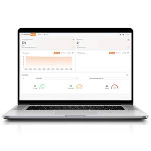
TMETNAV HCMonitor is a software platform designed to capture precise position data and track dynamic changes in real time. It integrates GNSS data with MEMS sensors, including tiltmeters and accelerometers.
-
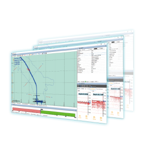
HD-MAX Ⅱ Hydrographic Solution HD-MAX Ⅱ dual-frequency echo sounder redefines underwater surveying. Its enhanced host unit is water-resistant, portable, and offers versatile interfaces.
-
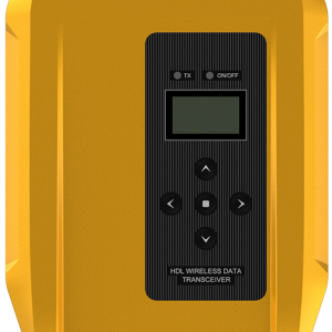
HDL-460A External Radio HDL-460A is a high-power external radio launched by TMETNAV. It has a strict protection level and a strong anti-loss ability.
-
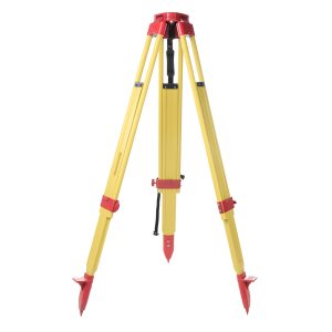
Heavy-Duty Tripod. Ask us for price, lead time and freight to your country.
-
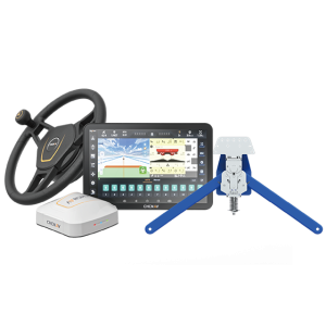
The TMETNAV HG100 row guidance is an assisted steering system designed specifically for harvesters. Using advanced crop-row sensors, it detects the actual path of the rows and automatically steers the harvester to stay centered.
-

Friendly Interface Comprehensive Management Real-time Visualization Precision Agriculture Intelligent Scheduling
-
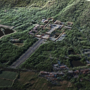
Hi-LiDAR Hi-LiDAR is a 3D laser point cloud processing software independently developed by TMETNAV. It is designed to integrate the entire workflow—from pre-processing to post-processing—within a single platform, improving project data-processing efficiency and enhancing the overall user experience.
