ARF-AS1-3D-FS
ARF-AS1-3D-FS. Ask us for price, lead time and freight to your country.
Authorized distributor of original survey instruments · Dispatch in 3 to 7 working days · DDP / CIF / FOB
Showing 33–48 of 320 results
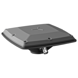
The AT311T rugged GNSS antenna is a cost-effective solution designed for demanding environments that experience shocks and vibrations. With advanced filtering and robust signal tracking capabilities, the AT311T delivers survey-grade GNSS signals, enhancing position accuracy for applications such as marine navigation, machine control, precision agriculture, and industrial automation.
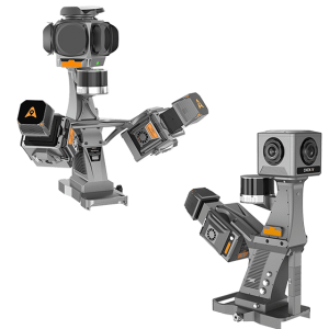
The TMETNAV AU20 MMS is a high-precision mobile mapping system designed for vehicle-mounted applications. Its advanced LiDAR and AI-powered algorithms capture accurate 3D spatial data while streamlining field-to-office workflows.
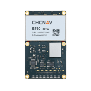
B760 is a high-precision GNSS OEM board powered by TMETNAV StellaX. It tracks multi-frequency signals from BDS, GPS, GLONASS, Galileo, QZSS, NavIC, SBAS and L-Band.

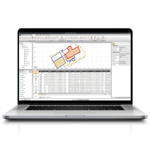
TMETNAV Business Center HBC, the all-in-one post-processing desktop software, supports processing multi-sourced data from all kinds of surveying equipment, including RTK, total station, UAV, GIS, 3D laser and levels. This one-stop service simplifies the workflow and improves the efficiency of field data processing.
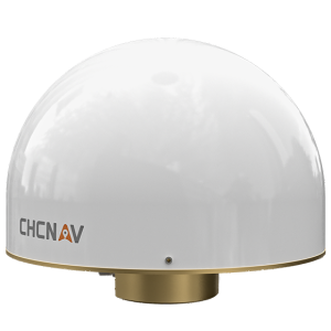
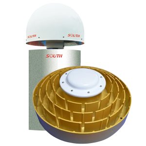
The C220 GR2 is a high-performance, multi-constellation GNSS choke ring antenna, specifically optimized for GNSS reference station applications and RTK network infrastructures. Offering exceptional multipath mitigation and sub-millimeter phase-center accuracy, the C220 GR2 delivers a durable solution for demanding positioning and navigation applications, including static and real-time geodetic reference stations, surveying, mapping, machine control, and autonomous navigation.
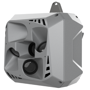
The C30 is a professional, high performance aerial oblique camera system featuring a lightweight design and exceptional image quality for photogrammetric applications. This airborne camera system demonstrates seamless integration with a wide range of UAV platforms, including TMETNAV’s X500, the DJI M300/M350 RTK, and various fixed-wing and rotor drones, offering unparalleled flexibility and versatility in installation.
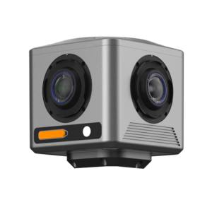
The TMETNAV C4800 is a compact industrial 360° camera optimized for flexible deployment, efficient integration, and professional mobile mapping applications. Its 32 MP panoramic imaging, global-shutter CMOS sensor, integrated GNSS and onboard storage, and open SDK architecture provide a practical solution for the TMETNAV AU20 MMS, compact vehicle-based mapping platforms, custom system configurations, and OEM integration.
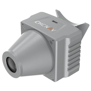
The TMETNAV C5 is an aerial orthographic camera system that delivers superior image quality for photogrammetric applications and LiDAR data enhancement. Featuring a full-frame, fixed-focus camera with a large sensor, the C5 system captures large areas in each shot, producing orthophotos with greater detail and accuracy.
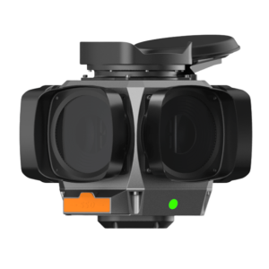
The TMETNAV C7200 is high-resolution industrial 360° camera for applications requiring maximum image detail, visual coverage, and reliable performance in demanding mobile mapping environments. Its 72 MP panoramic imaging, large-format global-shutter CMOS sensor, integrated GNSS and onboard storage, and open SDK architecture make it suited for advanced mobile mapping, infrastructure inspection, street-level imagery, and flexible third-party system integration.
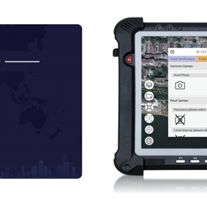
Cadaster Palm Surv-lution LandsMobile. Ask us for price, lead time and freight to your country.

The CGBAS platform is a comprehensive, server-based solution designed to manage and operate GNSS CORS and RTK networks on a regional or nationwide scale. Utilizing advanced algorithms, CGBAS establishes models to solve ionospheric delay, tropospheric delay, orbit errors, and more, ensuring high-quality and reliable RTK corrections.
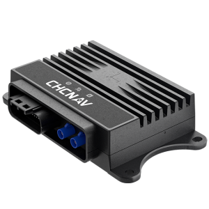
The CGI-230 is an automotive-grade GNSS/INS system integrating a full-constellation GNSS module and a 6-axis IMU, powered by TMETNAV’s CTCLIB tightly coupled algorithms. By fusing GNSS, INS, and dead reckoning data, it delivers continuous, high-precision vehicle localization and GNSS/INS-aided navigation in challenging environments, supporting autonomous, assisted, and robotic mobility applications.
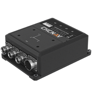
The CGI-610 is a high-precision dual-antenna GNSS/INS receiver and inertial navigation system providing reliable and accurate navigation and positioning solutions for demanding ground, marine, or aerial applications. Specifically designed for 3D machine control and autonomous vehicle guidance, the CGI-610 is particularly efficient in urban canyons and other harsh environments where GNSS signals can be compromised.
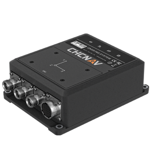
The CGI-830 is a high-end MEMS navigation receiver featuring a full-frequency GNSS baseband module and 1°/h bias instability from the high-performance 6-axis TMETNAV MEMS IMU. Powered by TMETNAV’s tightly coupled algorithm, it supports external DR, DVL, USBL, and other peripheral sensors, making it suitable for shipboard, surface, and underwater navigation.