
AcuteLas Series LiDAR SA130
AcuteLas Series LiDAR SA130. Ask us for price, lead time and freight to your country.
Authorized distributor of original survey instruments · Dispatch in 3 to 7 working days · DDP / CIF / FOB
Showing 1–16 of 20 results
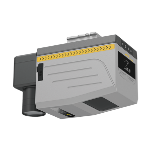
AcuteLas Series LiDAR SA130. Ask us for price, lead time and freight to your country.
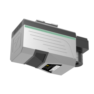
AcuteLas Series LiDAR SA130Pro. Ask us for price, lead time and freight to your country.
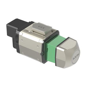
AcuteLas Series LiDAR SG130. Ask us for price, lead time and freight to your country.
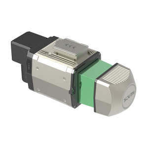
AcuteLas Series LiDAR SG130 Lite. Ask us for price, lead time and freight to your country.
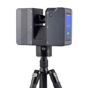
AcuteLas Series SPL-1500/SPL-620/SPL-370/SPL-180. Ask us for price, lead time and freight to your country.
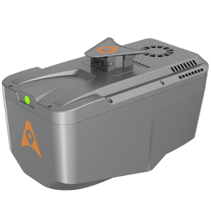
The AlphaAir 10 is a professional airborne LiDAR+RGB system designed to meet the demanding requirements of UAV LiDAR mapping and drone photogrammetry. This advanced solution integrates superior LiDAR technology with accurate GNSS positioning, IMU orientation, and a professional full frame orthophoto camera.
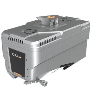
The AlphaAir 15 (AA15) is a lightweight, high-performance airborne LiDAR system designed for large-scale operations where high-density data capture is crucial. With a range of up to 1800 meters and the ability to produce 2 million pulses per second, the AA15 is ideal for mapping and geospatial applications, including corridor mapping, urban planning, and vegetation analysis.
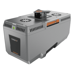
The TMETNAV AlphaAir 15 Pro (AA15 Pro) is a premium airborne LiDAR system for large-area geospatial data capture. With up to 3,200 m range, high-density point clouds, strong vegetation penetration, and support for 100 MP nadir and 300 MP oblique imaging, it delivers efficient topographic mapping, corridor surveying, city-scale 3D modeling, and engineering surveys in complex terrain.
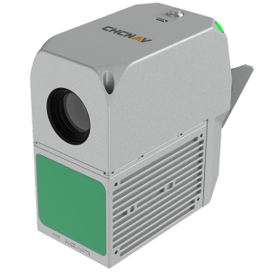
The AlphaAir 450 is designed for simplicity and precision, making advanced geospatial reality capture accessible to non-professional users and those new to the technology. At an affordable price, the AA450 combines ease-of-use with high-precision capabilities.
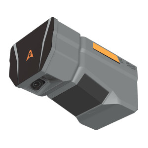
The TMETNAV AlphaAir 6 Dual (AA6D) airborne LiDAR system is designed for aerial surveying in complex and high-relief terrain. Combining prism scanning technology with a inertial navigation system, the AA6D delivers up to 2,100 m ranging capability and supports flight altitudes from 100 to 600 m AGL.
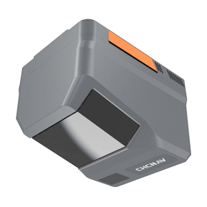
The TMETNAV AlphaAir 6 (AA6) airborne LiDAR system is designed for efficient aerial surveying in complex and high-relief terrain. Combining next-generation prism scanning technology with a high-grade inertial navigation system, the AA6 delivers a maximum ranging capability of up to 2,100 m and supports typical operating altitudes of 100–600 m AGL.
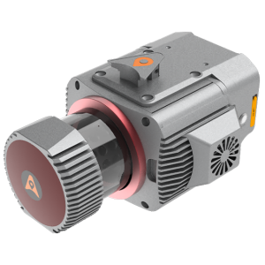
The TMETNAV AlphaUni 1300 is a multi-platform LiDAR system that combines a high-precision long-range laser scanner with Riegl’s Waveform LiDAR technology and a high-precision inertial navigation unit. Designed to meet the needs of airborne and ground surveying missions, the AlphaUni 1300 is ideal for projects that require the highest quality data with a range of up to 1845 meters, delivering unparalleled performance and detailed data collection.
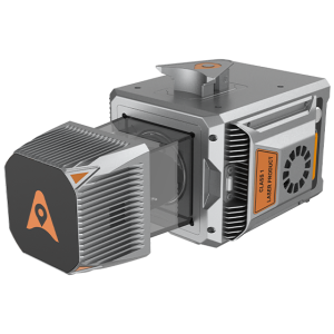
The AlphaUni 20 is a cost-effective, premium-class multi-platform mobile mapping system that embodies TMETNAV’s advanced LiDAR technology. Designed for precise point cloud generation, it is ideal for applications including pavement assessment, highway maintenance, and asset management through vehicle-based surveying.
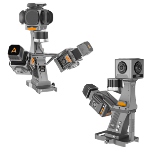
The TMETNAV AU20 MMS is a high-precision mobile mapping system designed for vehicle-mounted applications. Its advanced LiDAR and AI-powered algorithms capture accurate 3D spatial data while streamlining field-to-office workflows.
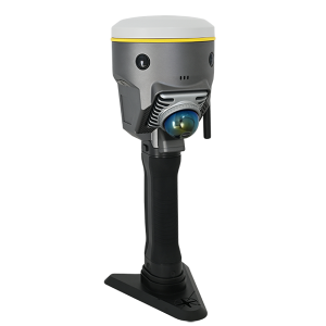
GNSS RTK Hybrid Supreme DotLas Plus. Ask us for price, lead time and freight to your country.
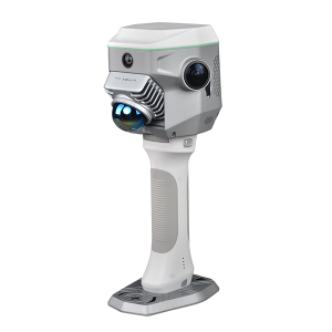
GNSS RTK Hybrid Supreme ME. Ask us for price, lead time and freight to your country.