
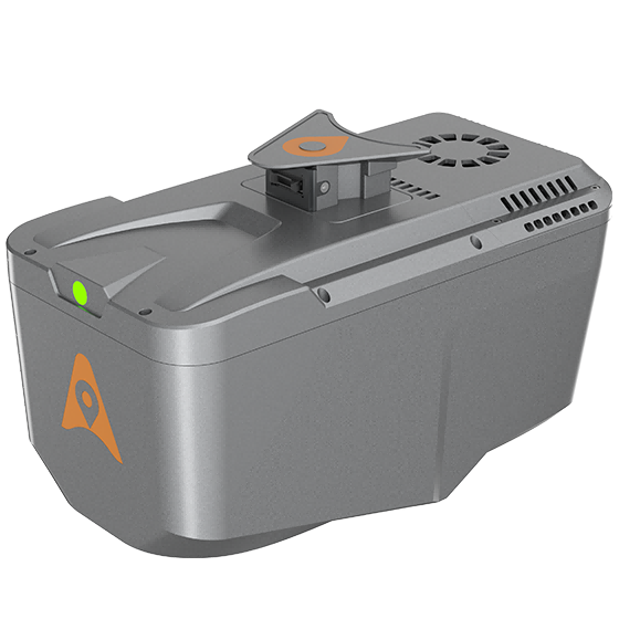
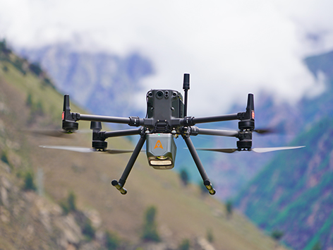
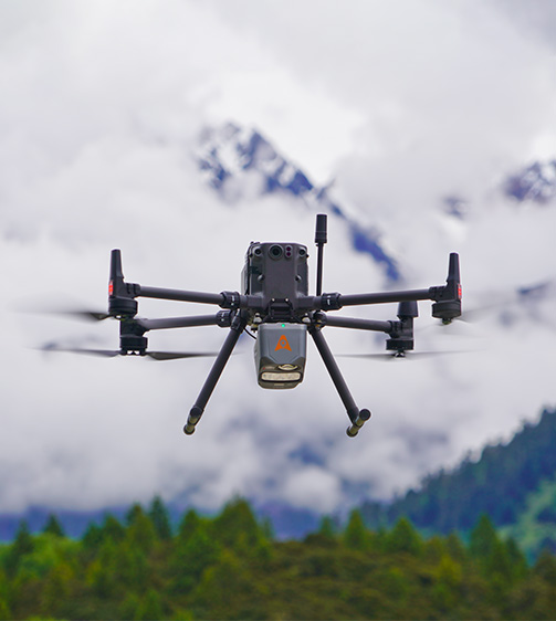
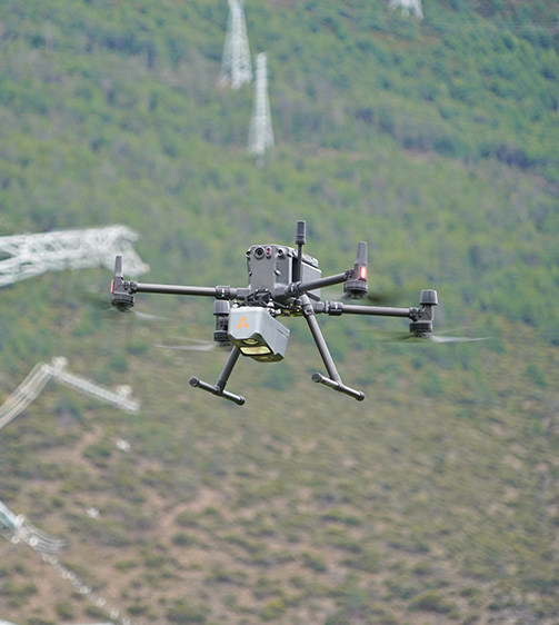
AlphaAir 10 Laser Scanner
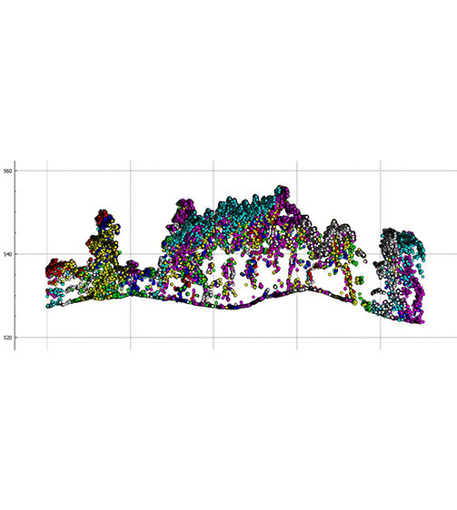
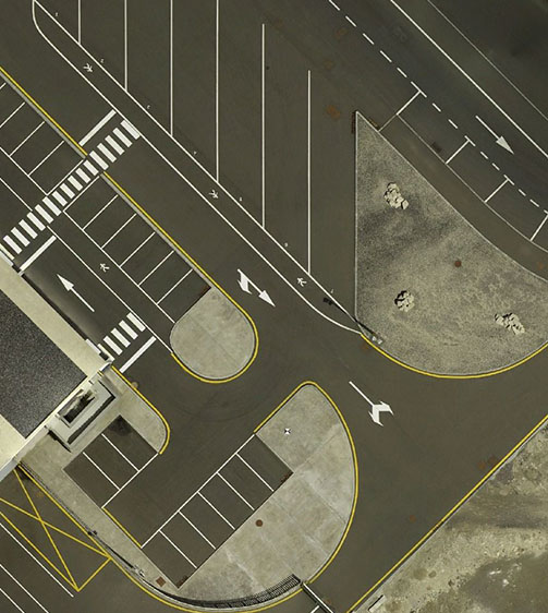
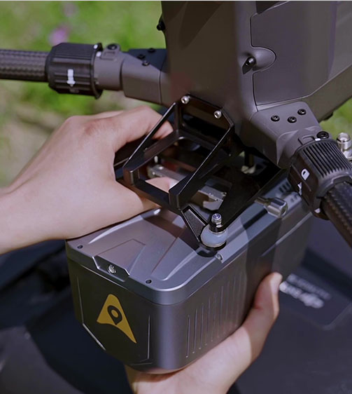
The AlphaAir 10 is a professional airborne LiDAR+RGB system designed to meet the demanding requirements of UAV LiDAR mapping and drone photogrammetry. This advanced solution integrates superior LiDAR technology with accurate GNSS positioning, IMU orientation, and a professional full frame orthophoto camera.
- Coordinate system preset before shipping
- Dispatch in 3 to 7 working days
- 12 month warranty
Description
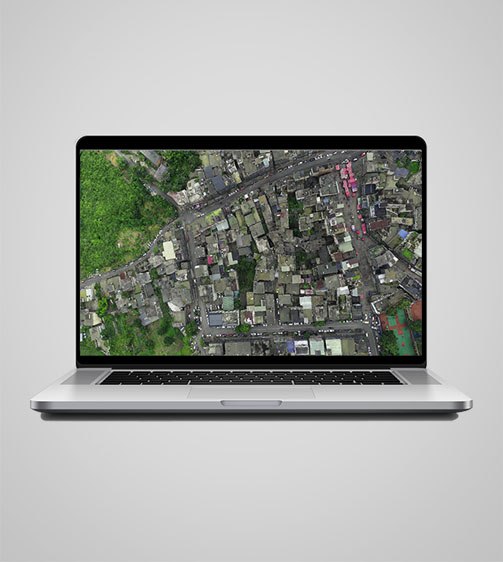
The AlphaAir 10 is a professional airborne LiDAR+RGB system designed to meet the demanding requirements of UAV LiDAR mapping and drone photogrammetry. This advanced solution integrates superior LiDAR technology with accurate GNSS positioning, IMU orientation, and a professional full frame orthophoto camera. Together with TMETNAV's point cloud and image fusion modeling software, the AA10 delivers survey-grade accuracy, efficiency, and cost-effectiveness in 3D data acquisition and processing.
Specifications
| Laser Scanner | |
|---|---|
| Range | 800 m |
| Scanning rate | 500.000 pulses/sec |
| Field of view | 75° |
| Returns | Up to 8 |
| Positioning | |
| GNSS | Full GNSS |
| IMU | 500 Hz |
| Precision max. | < 5 cm H / < 5 cm V |
| Imaging | |
| Resolution | 45 MP |
| Focal length | 21 mm |
| Sensors | |
| Camera | Optional external camera |
| Environmental | |
| Operating | -20°C to +50°C |
| Protection rating | IP64 |
| Physical | |
| Weight | 1,55 kg |
| Size | 210 x 112 x 131 mm |
| Performances | |
| Memory | 512 GB x 2 |
| Laser Scanner | |
| Range – 800 m | |
| Scanning rate – 500.000 pulses/sec | |
| Field of view – 75° | |
| Returns – Up to 8 | |
| Positioning | |
| GNSS – Full GNSS | |
| IMU – 500 Hz | |
| Precision max. – < 5 cm H / < 5 cm V | |
| Imaging | |
| Resolution – 45 MP | |
| Focal length – 21 mm | |
| Sensors | |
| Camera – Optional external camera | |
| Environmental | |
| Operating – -20°C to +50°C | |
| Protection rating – IP64 | |
| Physical | |
| Weight – 1,55 kg | |
| Size – 210 x 112 x 131 mm | |
| Performances | |
| Memory – 512 GB x 2 | |
| Laser Scanner | |
| Range – 1800 m | |
| Scanning rate – 2.000.000 pulses/sec | |
| Field of view – 75° | |
| Returns – Up to 16 | |
| Connectivity | |
| Wireless – Ethernet | |
| Positioning | |
| GNSS – Full constellations | |
| IMU – 600 Hz | |
| Precision max. – 1,5 cm at 150 m | |
| Imaging | |
| Resolution – 45 MP | |
| Focal length – 21 mm/35 mm | |
| Environmental | |
| Operating – -20°C to +50°C | |
| Protection rating – IP64 | |
| Physical | |
| Weight – 2,5 kg | |
| Size – 247 x 126 x 156 mm | |
| Performances | |
| Memory – 512 GB | |
Downloads
Related products
Get a quote for AlphaAir 10 Laser Scanner
Pricing, lead time and shipping cost to your door in one reply, within 24 hours.