Showing 49–64 of 320 results
-
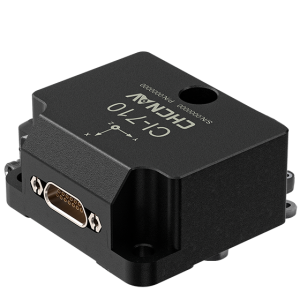
The CI-710 is a high-performance, 6-degree-of-freedom MEMS IMU sensor that outputs tri-axis angular rate, tri-axis acceleration, and temperature data. It features an embedded VRU algorithm to measure the roll and pitch attitude of the carrier.
-
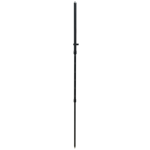
CLS18. Ask us for price, lead time and freight to your country.
-
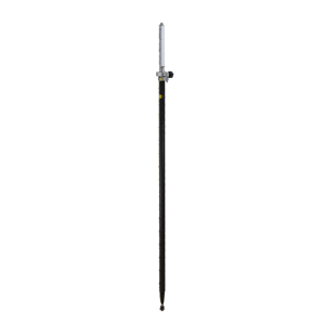
CLS25. Ask us for price, lead time and freight to your country.
-
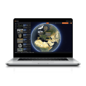
CoCloud is a cloud-based 3D processing and visualization platform that transforms captured spatial data into 3D deliverables. Users can upload field data and automatically generate point clouds, orthophotos, 3D models, and 3D Gaussian Splatting results without high-performance computers or complex software.
-
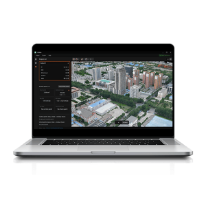
CoMeta is professional photogrammetry and 3D modeling software for UAV mapping and large-scale 3D reconstruction. It transforms aerial imagery into accurate orthomosaics, DSMs, textured meshes, and photorealistic 3D Gaussian Splatting models within one integrated workflow.
-
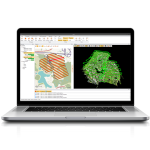
CoPre is a comprehensive LiDAR processing software developed by TMETNAV for efficient and accurate mobile geospatial data processing. It offers a range of functionalities, including trajectory processing, point cloud and image georeferencing, colorization, filtering, and Digital Ortho Model (DOM) generation.
-
CoProcess is a professional point cloud processing software designed to convert large-scale LiDAR datasets into engineering-ready deliverables. It integrates scan-to-CAD drafting, classification, terrain modeling, and volume calculation within a streamline AI-based workflows.
-
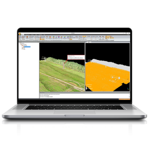
CoProcess Classic, developed by TMETNAV, is a powerful software solution tailored to the post-processing of massive point cloud data. It seamlessly processes field-captured LiDAR data into a variety of multi-format deliverables.
-
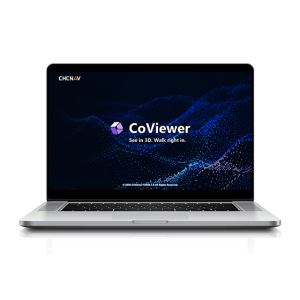
Explore Reality. Present with Clarity.
-
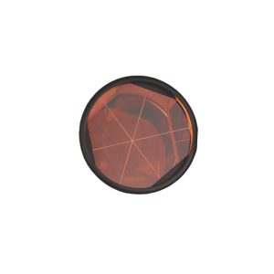
CPR1. Ask us for price, lead time and freight to your country.
-
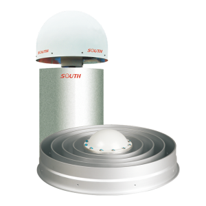
CR3 G3 GNSS Reference Receiver. Ask us for price, lead time and freight to your country.
-
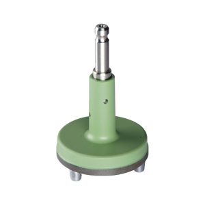
CRT10. Ask us for price, lead time and freight to your country.
-
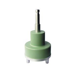
CRT11. Ask us for price, lead time and freight to your country.
-
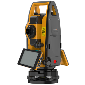
The CTS-A100 is a reflectorless total station optimized for efficient fieldwork, featuring the Android OS and TMETNAV’s LandStar software for intuitive, high-performance surveying. Its powerful EDM system offers a range of 5000 m with a prism and 1500 m without a reflector.
-
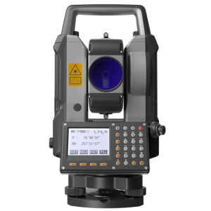
The TMETNAV CTS-M100 total station offers a reliable and affordable solution for everyday surveying tasks. With 2″ angle accuracy and a high-efficiency EDM, it delivers reflectorless measurements up to 1,500 m and up to 5,000 m using a single prism, with millimeter-level precision.
-
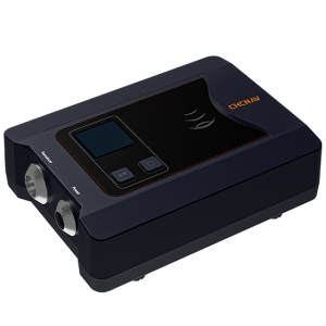
The D270 is a cost-effective single-beam echosounder designed for precision and ease, featuring an integrated water temperature sensor for real-time sound velocity adjustments based on temperature fluctuations, enhancing depth measurement accuracy. This compact echosounder is ideal for applications such as river cross-section surveys, reservoir capacity assessments, and dredging volume calculations.
