
CoPre
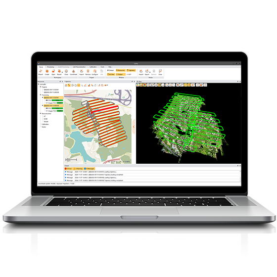
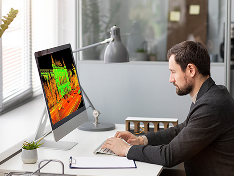
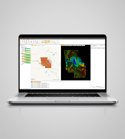
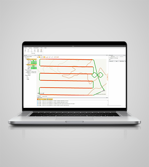
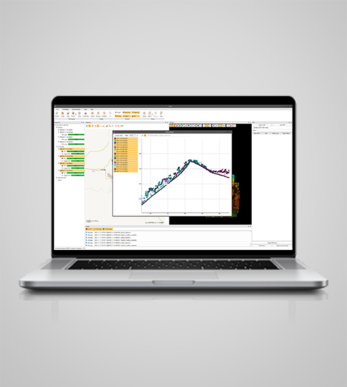
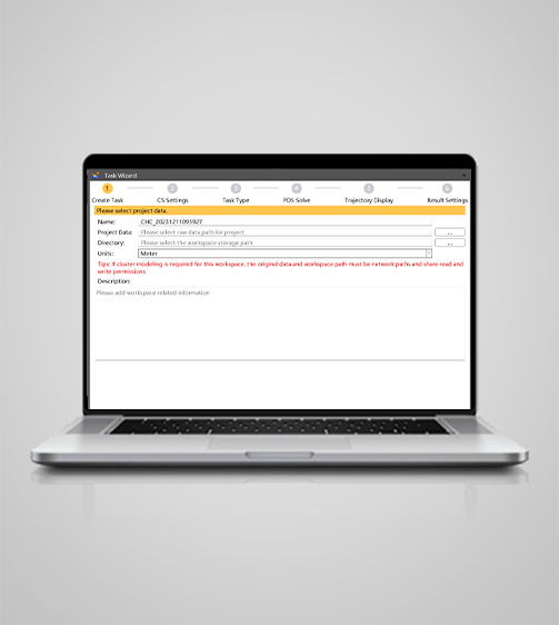
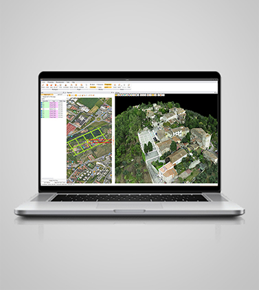
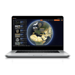
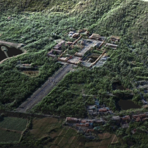
CoPre is a comprehensive LiDAR processing software developed by TMETNAV for efficient and accurate mobile geospatial data processing. It offers a range of functionalities, including trajectory processing, point cloud and image georeferencing, colorization, filtering, and Digital Ortho Model (DOM) generation.
- Coordinate system preset before shipping
- Dispatch in 3 to 7 working days
- 12 month warranty
Description
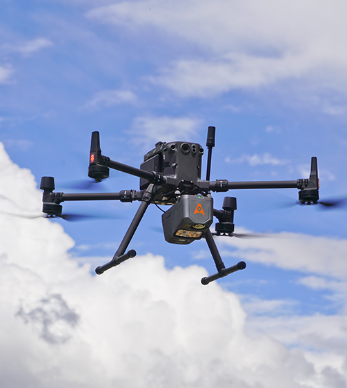
CoPre is a comprehensive LiDAR processing software developed by TMETNAV for efficient and accurate mobile geospatial data processing. It offers a range of functionalities, including trajectory processing, point cloud and image georeferencing, colorization, filtering, and Digital Ortho Model (DOM) generation. CoPre supports all TMETNAV LiDAR systems and enhances the quality and accuracy of post-processing tasks, making it an indispensable tool for geospatial professionals.
Specifications
| System | |
|---|---|
| Operating system | Windows |
| Languages | English, Chinese |
| Features | |
| Functions | Generate DOM and 3D models |
| File formats | Process GNSS, LiDAR, and RGB data |
Downloads
Related products

Get a quote for CoPre
Pricing, lead time and shipping cost to your door in one reply, within 24 hours.