
Hi-LiDAR
Hi-LiDAR Hi-LiDAR is a 3D laser point cloud processing software independently developed by TMETNAV. It is designed to integrate the entire workflow—from pre-processing to post-processing—within a single platform, improving project data-processing efficiency and enhancing the overall user experience.
- Coordinate system preset before shipping
- Dispatch in 3 to 7 working days
- 12 month warranty
Description
Hi-LiDAR Hi-LiDAR is a 3D laser point cloud processing software independently developed by TMETNAV. It is designed to integrate the entire workflow—from pre-processing to post-processing—within a single platform, improving project data-processing efficiency and enhancing the overall user experience. With five powerful modules — Aerial Data Processing, SLAM Data Processing, Terrain Data & Analysis, Architecture Module, and Engineering Module — Hi-LiDAR delivers a unified point cloud processing solution.
Overview
Hi-LiDAR Hi-LiDAR is a 3D laser point cloud processing software independently developed by TMETNAV. It is designed to integrate the entire workflow—from pre-processing to post-processing—within a single platform, improving project data-processing efficiency and enhancing the overall user experience. With five powerful modules — Aerial Data Processing, SLAM Data Processing, Terrain Data & Analysis, Architecture Module, and Engineering Module — Hi-LiDAR delivers a unified point cloud processing solution.
brxe-jturnb
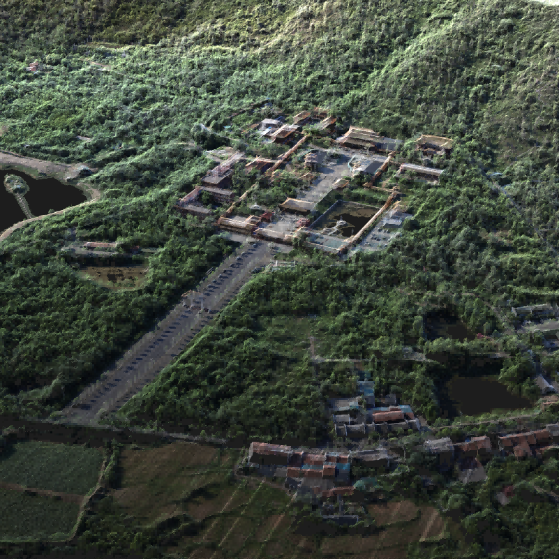
Aerial Data Processing For UAV LiDAR Data Processing like LS1 Airborne Mode ● DOM Orthophoto Generation ● Mesh Surface Modeling ● One-Click Workflow ● Automatic Strip Selection ● Point Cloud Optimization ● Quality Checks & Reports
brxe-pwxtox
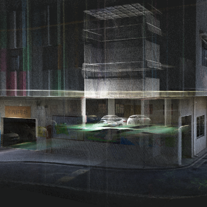
SLAM Data Processing For Handheld SLAM Data Processing like V700S ● 3DGS Reconstruction & Visualization ● Mesh Surface Modeling ● SLAM Wizard Processing ● Comprehensive Coordinate Support ● PPK Processing
Download
Download Brochures All Language English Hi-LiDAR-Brochure-EN-20260106(s) Download
Video
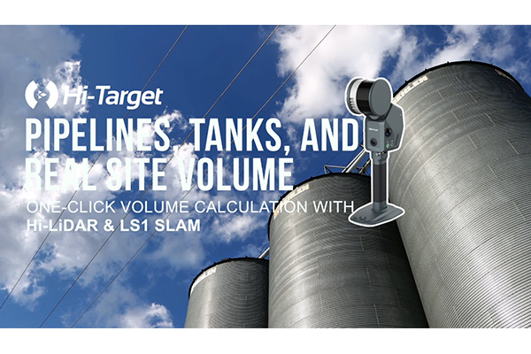
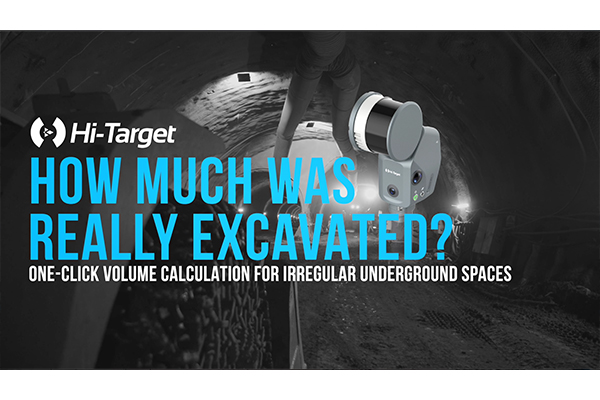
Quick Start Video All Language English What’s new in Hi-LiDAR V4.2.1? Faster space volume calculation for industrial facilities. Hi-LiDAR V4.2.1 Has Arrived!
Downloads
Related products
Get a quote for Hi-LiDAR
Pricing, lead time and shipping cost to your door in one reply, within 24 hours.