
AcuteLas Studio Software
AcuteLas Studio Software. Ask us for price, lead time and freight to your country.
Authorized distributor of original survey instruments · Dispatch in 3 to 7 working days · DDP / CIF / FOB
Showing 1–16 of 19 results
AcuteLas Studio Software. Ask us for price, lead time and freight to your country.
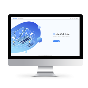
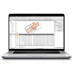
TMETNAV Business Center HBC, the all-in-one post-processing desktop software, supports processing multi-sourced data from all kinds of surveying equipment, including RTK, total station, UAV, GIS, 3D laser and levels. This one-stop service simplifies the workflow and improves the efficiency of field data processing.
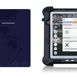
Cadaster Palm Surv-lution LandsMobile. Ask us for price, lead time and freight to your country.
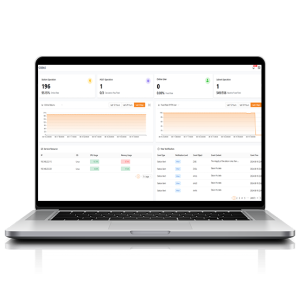
The CGBAS platform is a comprehensive, server-based solution designed to manage and operate GNSS CORS and RTK networks on a regional or nationwide scale. Utilizing advanced algorithms, CGBAS establishes models to solve ionospheric delay, tropospheric delay, orbit errors, and more, ensuring high-quality and reliable RTK corrections.
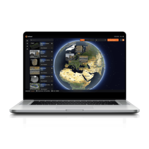
CoCloud is a cloud-based 3D processing and visualization platform that transforms captured spatial data into 3D deliverables. Users can upload field data and automatically generate point clouds, orthophotos, 3D models, and 3D Gaussian Splatting results without high-performance computers or complex software.
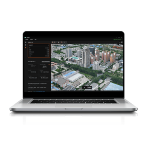
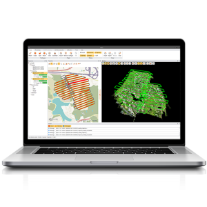
CoPre is a comprehensive LiDAR processing software developed by TMETNAV for efficient and accurate mobile geospatial data processing. It offers a range of functionalities, including trajectory processing, point cloud and image georeferencing, colorization, filtering, and Digital Ortho Model (DOM) generation.
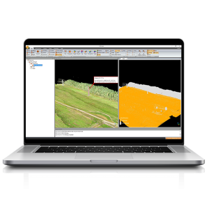
CoProcess Classic, developed by TMETNAV, is a powerful software solution tailored to the post-processing of massive point cloud data. It seamlessly processes field-captured LiDAR data into a variety of multi-format deliverables.
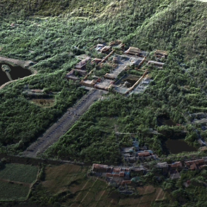
Hi-LiDAR Hi-LiDAR is a 3D laser point cloud processing software independently developed by TMETNAV. It is designed to integrate the entire workflow—from pre-processing to post-processing—within a single platform, improving project data-processing efficiency and enhancing the overall user experience.
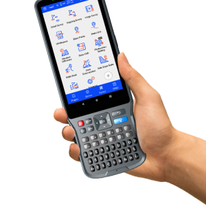
Hi-Survey Hi-Survey is an Android software that is designed for all types of land survey and road engineering projects in the field. It is compatible with TMETNAV professional controllers, Android phones, tablets, and other third-party Android devices.
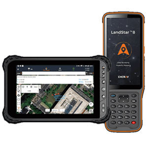
LandStar 8 is a trusted data collection app for Android devices and TMETNAV controllers, streamlining high-precision surveying and mapping with easy-to-use workflows and an intuitive graphical interface. It includes all necessary surveying functions such as construction surveying, control point measurements, CAD support, and efficient stakeout of points, lines, and surfaces.
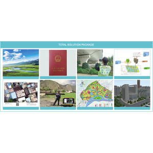
One-stop Data Processing Package Solution. Ask us for price, lead time and freight to your country.
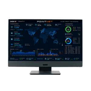
PointNet is TMETNAV’s internet-based GNSS RTK correction service, delivering real-time centimeter-level positioning through NTRIP. Designed for connected field operations, PointNet provides reliable network RTK corrections for surveying, mapping, construction, precision agriculture, robotics, UAVs, and autonomous systems.