Showing 17–19 of 19 results
-
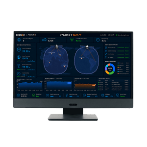
PointSky is TMETNAV L-Band satellite-based GNSS correction service for high-accuracy real-time positioning without a local base station or cellular network connection. Designed for remote, offshore, agricultural, surveying, and network-limited environments, PointSky uses PPP-based correction technology to model and correct key GNSS error sources, including satellite orbit, clock, hardware bias, and atmospheric delays.
-
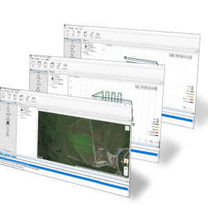
TMETNAV PPK GO Precision Add-on TMETNAV PPK GO Precision Add-on enables Phantom 4 RTK drones to achieve the most accurate and reliable camera positioning data in any coordinate system without measure targets or GCPs. With 2cm accuracies on XYZ, the output text file with position information or geotagged images can then be used directly in major photogrammetric mapping or 3D Survey software.
-
SGO. Ask us for price, lead time and freight to your country.
