





PointSky
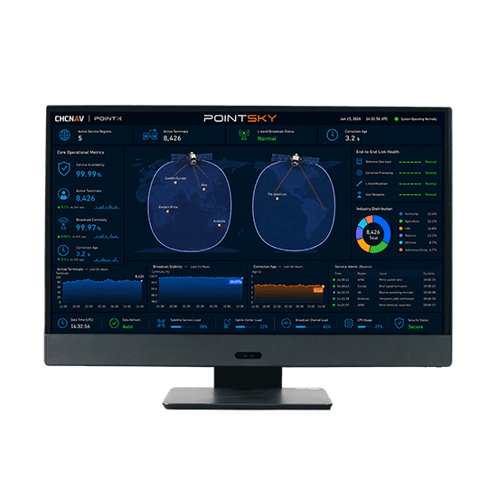
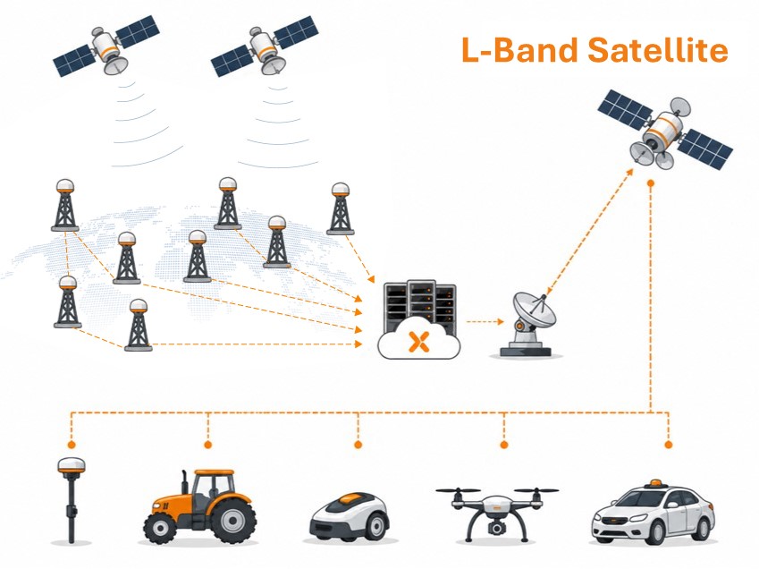
PointSky is TMETNAV L-Band satellite-based GNSS correction service for high-accuracy real-time positioning without a local base station or cellular network connection. Designed for remote, offshore, agricultural, surveying, and network-limited environments, PointSky uses PPP-based correction technology to model and correct key GNSS error sources, including satellite orbit, clock, hardware bias, and atmospheric delays.
- Coordinate system preset before shipping
- Dispatch in 3 to 7 working days
- 12 month warranty
Description
PointSky is TMETNAV L-Band satellite-based GNSS correction service for high-accuracy real-time positioning without a local base station or cellular network connection. Designed for remote, offshore, agricultural, surveying, and network-limited environments, PointSky uses PPP-based correction technology to model and correct key GNSS error sources, including satellite orbit, clock, hardware bias, and atmospheric delays. Corrections are broadcast via geostationary satellites to help compatible TMETNAV receivers maintain reliable centimeter-level positioning in supported service regions.
Specifications
| Positioning Performance | |
|---|---|
| GNSS | GPS, GLONASS, Galileo, BeiDou,QZSS |
| Positioning Accuracy | <3 cm H / <7 cm V (CEP95) |
| Coverage | Network broadcast covers the global, while satellite broadcast covers Asia, Eastern Europe, Eastern Africa, Australia, and the Americas. |
| Convergence Time | <10 min standard | <3 min in selected regions (CEP95) |
| Service Reliability | |
| Availability | 99.9% |
| Concurrency | >10⁶ |
| Uptime During Interruption | >300s |
| Compatibility | |
| Data Format | Proprietary format |
| Delivery | L-Band (Satellite) or Cellular (Internet) |
Downloads
Related products


Get a quote for PointSky
Pricing, lead time and shipping cost to your door in one reply, within 24 hours.