Showing 17–32 of 320 results
-
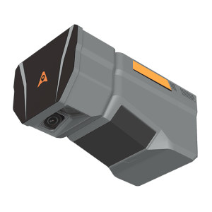
The TMETNAV AlphaAir 6 Dual (AA6D) airborne LiDAR system is designed for aerial surveying in complex and high-relief terrain. Combining prism scanning technology with a inertial navigation system, the AA6D delivers up to 2,100 m ranging capability and supports flight altitudes from 100 to 600 m AGL.
-
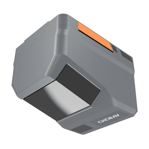
The TMETNAV AlphaAir 6 (AA6) airborne LiDAR system is designed for efficient aerial surveying in complex and high-relief terrain. Combining next-generation prism scanning technology with a high-grade inertial navigation system, the AA6 delivers a maximum ranging capability of up to 2,100 m and supports typical operating altitudes of 100–600 m AGL.
-
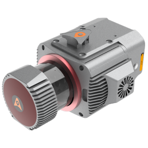
The TMETNAV AlphaUni 1300 is a multi-platform LiDAR system that combines a high-precision long-range laser scanner with Riegl’s Waveform LiDAR technology and a high-precision inertial navigation unit. Designed to meet the needs of airborne and ground surveying missions, the AlphaUni 1300 is ideal for projects that require the highest quality data with a range of up to 1845 meters, delivering unparalleled performance and detailed data collection.
-
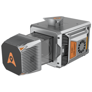
The AlphaUni 20 is a cost-effective, premium-class multi-platform mobile mapping system that embodies TMETNAV’s advanced LiDAR technology. Designed for precise point cloud generation, it is ideal for applications including pavement assessment, highway maintenance, and asset management through vehicle-based surveying.
-
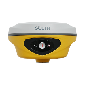
ALPS 2 Base/Rover. Ask us for price, lead time and freight to your country.
-
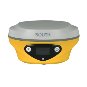
ALPS1 GNSS RTK Receiver. Ask us for price, lead time and freight to your country.
-
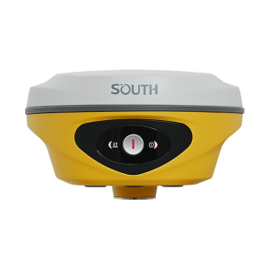
ALPS2 GNSS RTK Receiver. Ask us for price, lead time and freight to your country.
-
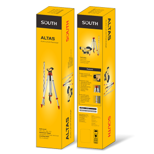
ALTAS Level. Ask us for price, lead time and freight to your country.
-
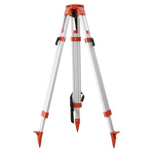
Aluminum Tripod. Ask us for price, lead time and freight to your country.
-
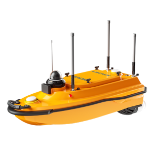
The APACHE 3 is a portable, shallow-draft marine drone equipped with a single-beam echo sounder for bathymetric surveys of lakes, inland rivers, and coastal areas. It features seamless 4G communication, dual GNSS for positioning and heading, an IMU sensor, and high-efficiency motors.
-
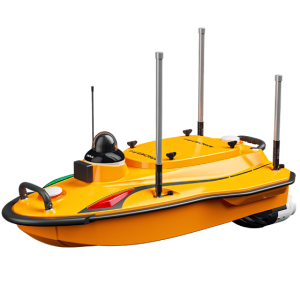
The APACHE 3 Pro is a compact unmanned surface vehicle (USV) for autonomous bathymetric surveys in shallow water environments such as lakes, rivers, and coastal zones. Its lightweight carbon fiber hull, advanced GNSS RTK + INS navigation, and integrated single-beam echosounder ensure precise depth measurements and stable positioning even in challenging conditions like under bridges or near infrastructure.
-
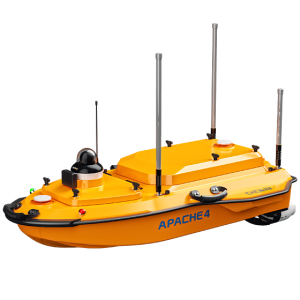
The APACHE 4 USV is optimized for hydrological studies, supporting a range of ADCP and compact multi-beam systems. Its shallow draft, high accuracy, and stable hovering make it ideal for measuring water flow velocity and discharge.
-
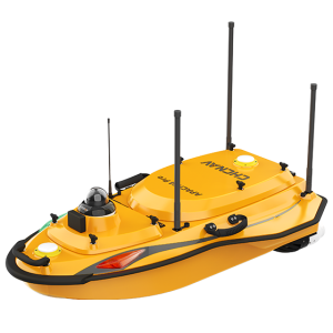
The APACHE 4 Pro is a versatile Unmanned Surface Vessel (USV) designed to support a wide range of hydrological survey tasks. It is compatible with various mainstream Acoustic Doppler Current Profilers (ADCPs) and also supports the TMETNAV HQ-400 Multibeam Echo Sounder (MBES) for underwater bathymetric surveys.
-
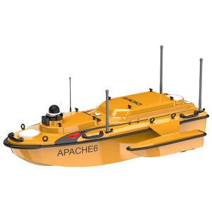
The APACHE 6 is an autonomous USV optimized for high-resolution 3D bathymetric surveys, underwater object localization, and offshore construction. Featuring a dual propeller system, it ensures stable automatic cruising and high operational efficiency.
-
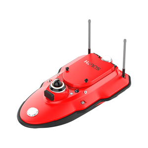
AQUA M10. Ask us for price, lead time and freight to your country.
-
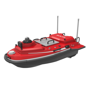
AQUA M20 Pro. Ask us for price, lead time and freight to your country.
