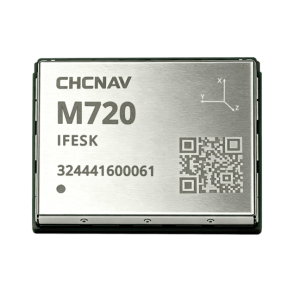
Insight V3 GNSS RTK Receiver
Insight V3 GNSS RTK Receiver. Ask us for price, lead time and freight to your country.
Authorized distributor of original survey instruments · Dispatch in 3 to 7 working days · DDP / CIF / FOB
Showing 145–160 of 320 results
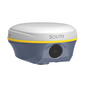
Insight V3 GNSS RTK Receiver. Ask us for price, lead time and freight to your country.
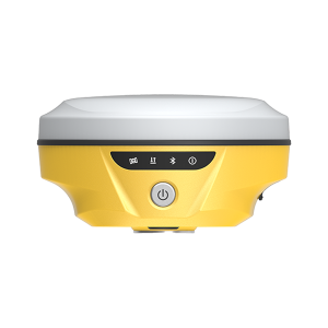
Insight V4 GNSS RTK Receiver. Ask us for price, lead time and freight to your country.
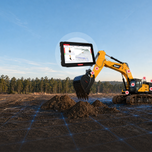
Intelligent 3D Excavator Guidance System EGS01. Ask us for price, lead time and freight to your country.
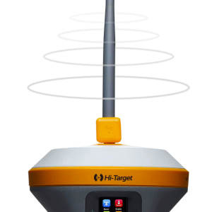
iRTK5 GNSS RTK System Benefiting from the next-generation GNSS engine, unlimited communication technology and innovative designs, iRTK5, the high-quality scalable GNSS receiver, provides an industry-leading GNSS RTK surveying solution.
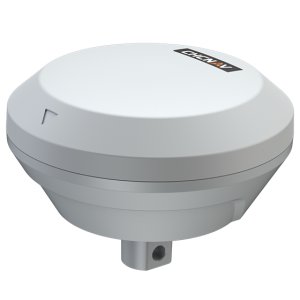
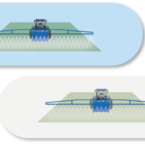
The TMETNAV IS100 is a precision implement guidance system designed to improve straight-line accuracy and row spacing for mounted equipment. Combining intelligent algorithms with high-precision GNSS technology, the IS100 corrects implement deviation in real time, preventing side-slip on slopes or sandy terrain.
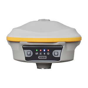
J1 GNSS RTK Receiver. Ask us for price, lead time and freight to your country.
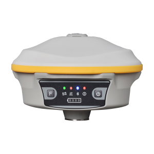
J1(5W) GNSS RTK Receiver. Ask us for price, lead time and freight to your country.
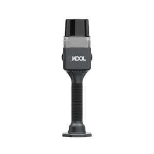
KOOL Handheld 3D Laser Scanner. Ask us for price, lead time and freight to your country.
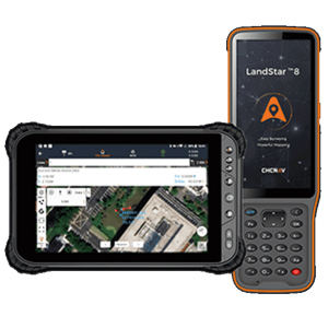
LandStar 8 is a trusted data collection app for Android devices and TMETNAV controllers, streamlining high-precision surveying and mapping with easy-to-use workflows and an intuitive graphical interface. It includes all necessary surveying functions such as construction surveying, control point measurements, CAD support, and efficient stakeout of points, lines, and surfaces.
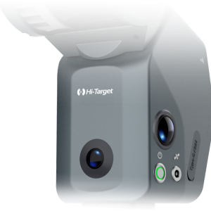
LS1 PRO SLAM SCANNER. Ask us for price, lead time and freight to your country.
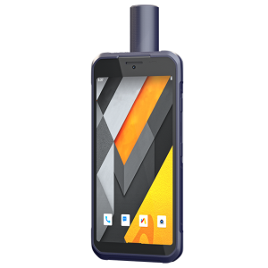
Combining reliability with high precision, the LT60H serves a variety of industries requiring centimeter- or decimeter-level positioning accuracy. Its portability, industrial IP67 ruggedness, and adaptability make it ideal for tasks such as precision GIS data collection and utility inspections.
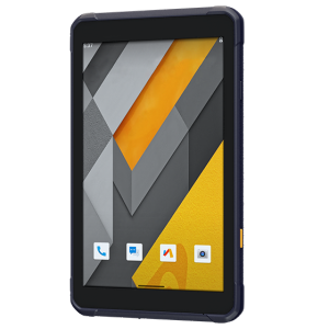
The LT800 increases the efficiency and productivity of mobile workforces engaged in tasks requiring meter-level GNSS positioning accuracy and consistent performance. Its 8.1″ sunlight-readable display ensures that GIS data maps and images are easily viewed even in bright lighting conditions.
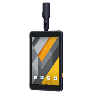
The LT800H RTK Android tablet increases the productivity of mobile workforces. Designed for centimeter-to-decimeter accuracy, it excels in precision GIS data collection, forensic mapping, construction layouts, environmental studies, and landscaping projects.
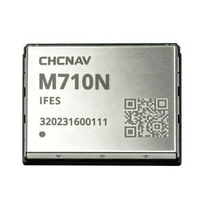
M710N is an ultra-compact 12 × 16 mm high-precision GNSS positioning module for space-constrained OEM applications. Powered by TMETNAV’s integrated RF-baseband GNSS SoC, it tracks multi-frequency signals from major constellations.