
PL2.6 /PL3.6 /PL4.6
PL2.6 /PL3.6 /PL4.6. Ask us for price, lead time and freight to your country.
Authorized distributor of original survey instruments · Dispatch in 3 to 7 working days · DDP / CIF / FOB
Showing 209–224 of 320 results
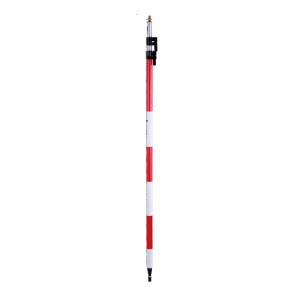
PL2.6 /PL3.6 /PL4.6. Ask us for price, lead time and freight to your country.
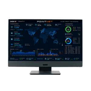
PointNet is TMETNAV’s internet-based GNSS RTK correction service, delivering real-time centimeter-level positioning through NTRIP. Designed for connected field operations, PointNet provides reliable network RTK corrections for surveying, mapping, construction, precision agriculture, robotics, UAVs, and autonomous systems.
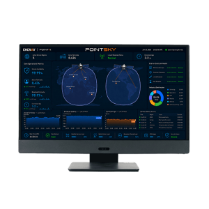
PointSky is TMETNAV L-Band satellite-based GNSS correction service for high-accuracy real-time positioning without a local base station or cellular network connection. Designed for remote, offshore, agricultural, surveying, and network-limited environments, PointSky uses PPP-based correction technology to model and correct key GNSS error sources, including satellite orbit, clock, hardware bias, and atmospheric delays.
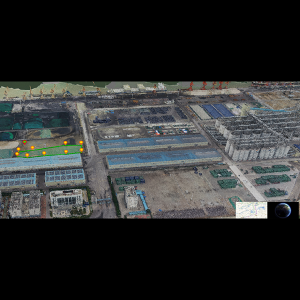
Port Solution Based on 3D and Location Technologies. Ask us for price, lead time and freight to your country.
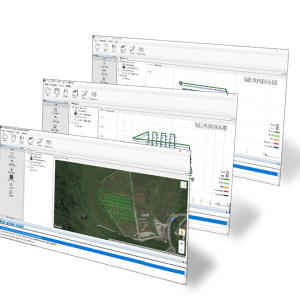
TMETNAV PPK GO Precision Add-on TMETNAV PPK GO Precision Add-on enables Phantom 4 RTK drones to achieve the most accurate and reliable camera positioning data in any coordinate system without measure targets or GCPs. With 2cm accuracies on XYZ, the output text file with position information or geotagged images can then be used directly in major photogrammetric mapping or 3D Survey software.
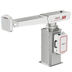
The PS-2000 Multi-point Deformation Monitoring System is designed for high-precision slope stability monitoring. Utilizing differential interferometric measurement and circular synthetic aperture imaging methods, it provides non-contact, all-around monitoring capability with high accuracy and data update rates.
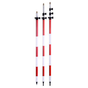
PS2.6 /PS3.6 /PS4.6. Ask us for price, lead time and freight to your country.

Qbox 20 GNSS Receiver Qbox 20 GNSS Receiver is a wearable device that supports high-precision positioning, network transmission of positioning information, and is suitable for long-term outdoor operations.
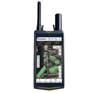
Qmini A10 GIS Handheld Qmini A10 GIS Handheld provides a combination of Beidou high-precision positioning, dual-mode intercom, 4G smartphone, with background multi-network interconnection and other functions. It is small with complete functions and a high level of protection.
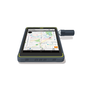
Qpad X8 Rugged Tablet The Qpad X8 Rugged Tablet integrates the high-precision GNSS algorithm to provide users with a consumer-grade smart tablet experience for GIS data collection in various industries.
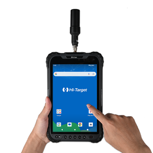
Qpad X9 Pro High-precision Tablet Compact and portable, Qpad X9 Pro integrates high-precision GNSS RTK algorithms to offer a user-friendly smart tablet experience for GlS data collection across diverse industries. It features a rugged design with exquisite structure, providing industrial-grade protection capable of withstanding challenging environments.
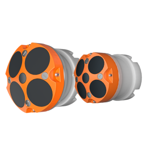
The RiverStar ADCP Series, available in RS-1200 and RS-600 models, delivers high-accuracy water velocity measurements in shallow and deep water environments. Featuring a 5-beam solution and 300 kHz central depth measurement, the RS Series ADCP performs exceptionally in varied water conditions, from slow to fast currents.
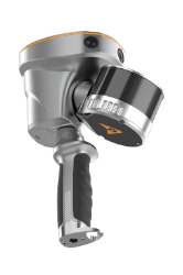
The TMETNAV RS10 is a handheld SLAM 3D laser scanner that integrates GNSS RTK, laser scanning, and visual SLAM in a single platform. This sensor fusion supports efficient and accurate indoor and outdoor 3D data capture, including surveying in GNSS-challenged environments.
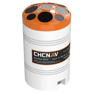
The RiverStar 3600D ADCP delivers high accuracy in shallow and deep water environments. Its 9-beam configuration and 600 kHz central depth measurement ensure reliable performance across varied water conditions, from slow to fast currents and varying depths, Paired with TMETNAV APACHE 4 series USV, it streamlines operations by requiring only one vessel and one remote controller, enhancing efficiency in hydrological surveying.
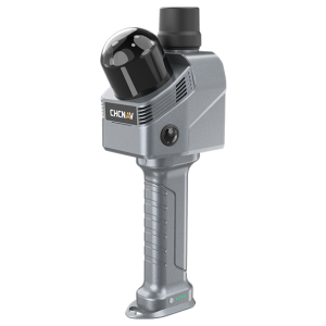
The RS7 is TMETNAV’s high-performance, tool-grade handheld LiDAR SLAM scanner for building, interior and indoor mapping applications. By fusing high-precision INS and SLAM, and featuring an IMU with bias instability better than 0.5°/h, it ensures stable motion tracking in feature-poor environments.
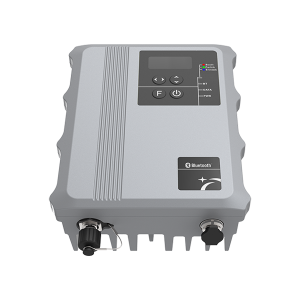
S1 GNSS RTK Receiver. Ask us for price, lead time and freight to your country.