
LandStar
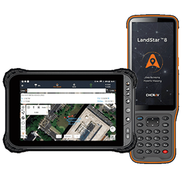
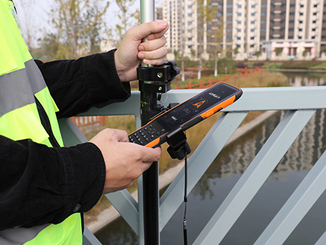
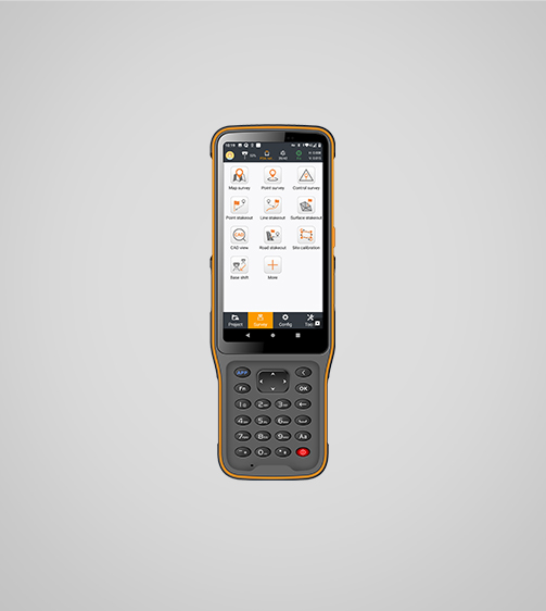
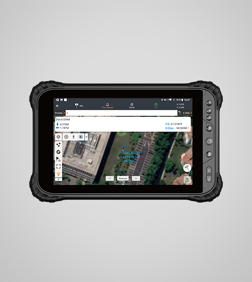
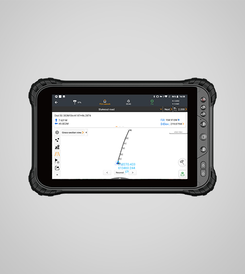
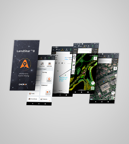
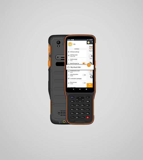
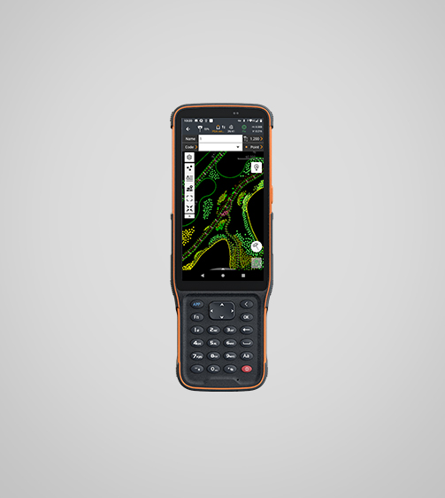
LandStar 8 is a trusted data collection app for Android devices and TMETNAV controllers, streamlining high-precision surveying and mapping with easy-to-use workflows and an intuitive graphical interface. It includes all necessary surveying functions such as construction surveying, control point measurements, CAD support, and efficient stakeout of points, lines, and surfaces.
- Coordinate system preset before shipping
- Dispatch in 3 to 7 working days
- 12 month warranty
Description
LandStar 8 is a trusted data collection app for Android devices and TMETNAV controllers, streamlining high-precision surveying and mapping with easy-to-use workflows and an intuitive graphical interface. It includes all necessary surveying functions such as construction surveying, control point measurements, CAD support, and efficient stakeout of points, lines, and surfaces. Compatible with industry-standard data formats for seamless import and export, LandStar 8 ensures immediate productivity gains.
Specifications
| System | |
|---|---|
| Operating system | Android |
| Languages | Over 35 supported |
| Connectivity | |
| Device | Bluetooth, Wi-Fi |
| Cloud | Data storage and remote support |
| Interface | |
| Map interface | Vector data, raster data |
| User menu | Customizable |
| Online basemaps | Google, Bing, WMS, WFS |
| Features | |
| Functions | Data collection, stakeouts and more. |
| File formats | SHP, DWG, DXF, KML, GPX, TIFF, JPG, MBTiles |
Downloads
Related products
Get a quote for LandStar
Pricing, lead time and shipping cost to your door in one reply, within 24 hours.