

PointNet
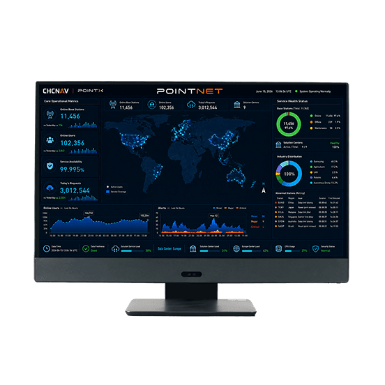
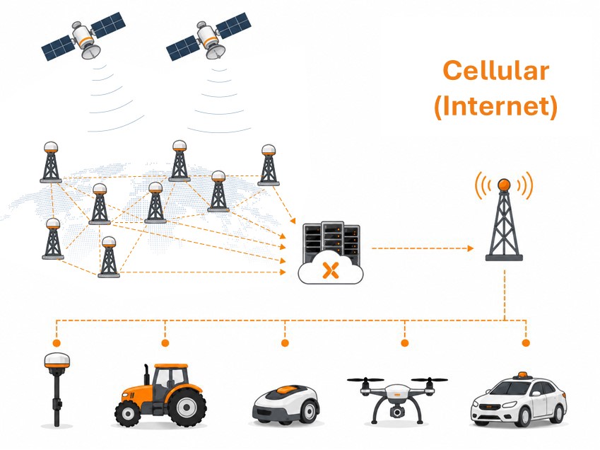
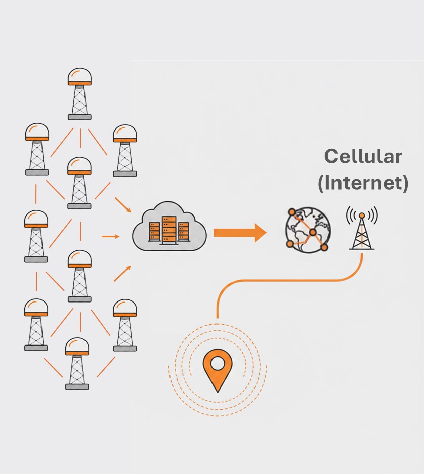
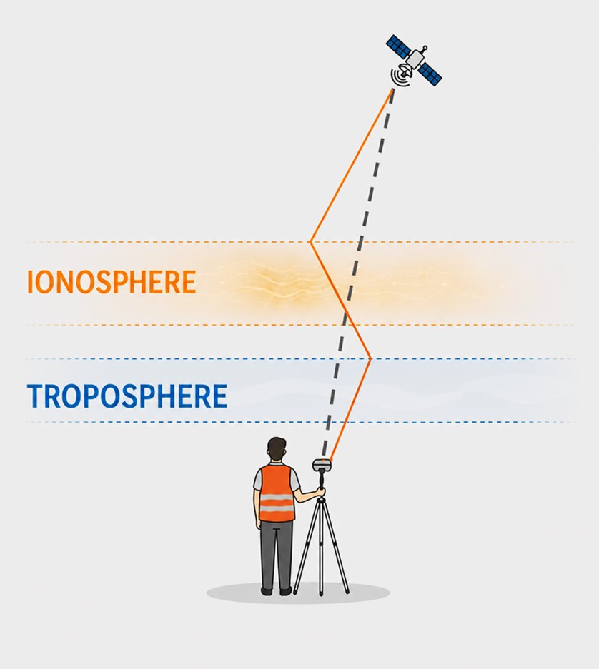
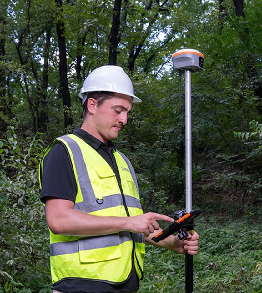
PointNet is TMETNAV’s internet-based GNSS RTK correction service, delivering real-time centimeter-level positioning through NTRIP. Designed for connected field operations, PointNet provides reliable network RTK corrections for surveying, mapping, construction, precision agriculture, robotics, UAVs, and autonomous systems.
- Coordinate system preset before shipping
- Dispatch in 3 to 7 working days
- 12 month warranty
Description
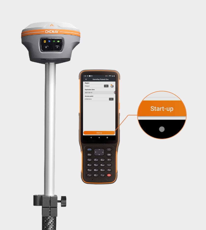
PointNet is TMETNAV’s internet-based GNSS RTK correction service, delivering real-time centimeter-level positioning through NTRIP. Designed for connected field operations, PointNet provides reliable network RTK corrections for surveying, mapping, construction, precision agriculture, robotics, UAVs, and autonomous systems. When used with compatible TMETNAV receivers, modules, and terminals, it offers easy activation, account management, and high-accuracy positioning through a wide network of GNSS reference stations.
Specifications
| Positioning Performance | |
|---|---|
| GNSS | GPS, GLONASS, Galileo, BeiDou,QZSS |
| Positioning Accuracy | <3 cm H / <5 cm V (CEP95) |
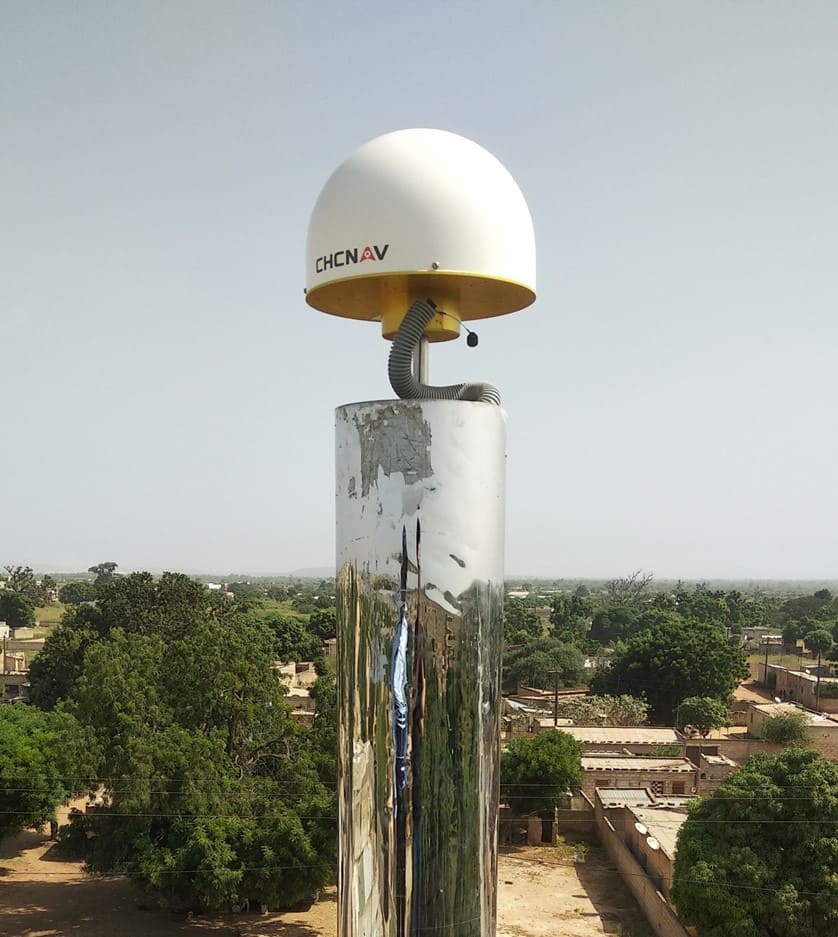
| Coverage | Europe, Brazil, Australia, New Zealand, China, and other supported regions |
| Convergence Time | Instant access to network corrections |
| Service Mode | Virtual Reference Station, Nearest |
| Coordinate System | ITRF2020, ETRS89, WGS84, and selected regional coordinate reference systems |
| Service Reliability | |
| Availability | 99.99% |
| Concurrency | >10⁶ |
| Compatibility | |
| Data Format | RTCM 3.X / Proprietary format |
| Delivery | Cellular (Internet) |
Downloads
Related products



Get a quote for PointNet
Pricing, lead time and shipping cost to your door in one reply, within 24 hours.