
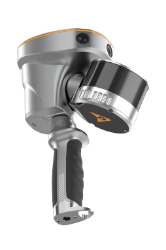

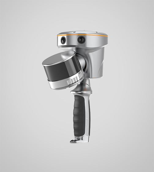

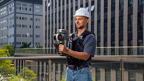

RS10 Laser Scanner
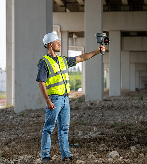
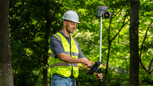
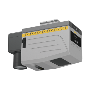
The TMETNAV RS10 is a handheld SLAM 3D laser scanner that integrates GNSS RTK, laser scanning, and visual SLAM in a single platform. This sensor fusion supports efficient and accurate indoor and outdoor 3D data capture, including surveying in GNSS-challenged environments.
- Coordinate system preset before shipping
- Dispatch in 3 to 7 working days
- 12 month warranty
Description
The TMETNAV RS10 is a handheld SLAM 3D laser scanner that integrates GNSS RTK, laser scanning, and visual SLAM in a single platform. This sensor fusion supports efficient and accurate indoor and outdoor 3D data capture, including surveying in GNSS-challenged environments. Designed for topographic surveying, BIM, forestry, power line inspection, underground mapping, and other reality capture applications, the RS10 provides a flexible mobile mapping solution for professionals seeking to expand their laser scanning and surveying capabilities.
Specifications
| Laser Scanner | |
|---|---|
| Channels | 16 or 32 |
| Range | 120 or 300 m |
| Scanning rate | 320.000 or 640.000 pulses/sec |
| Positioning | |
| GNSS | Full GNSS |
| Absolute accuracy | < 5 cm H / < 5 cm V |
| Relative accuracy | < 1 cm |
| Sensors | |
| Camera | 15 MP (3x 5 MP) |
Downloads
Related products
Get a quote for RS10 Laser Scanner
Pricing, lead time and shipping cost to your door in one reply, within 24 hours.