
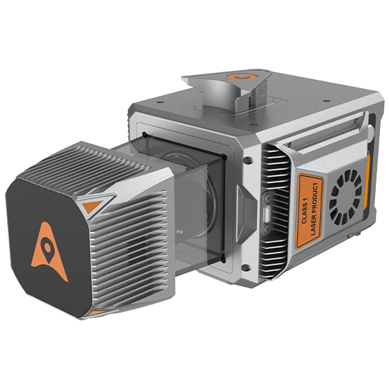
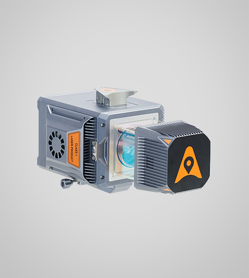
AlphaUni 20 Laser Scanner
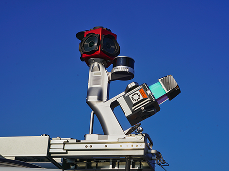
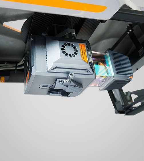
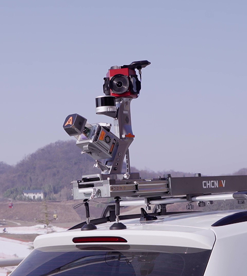
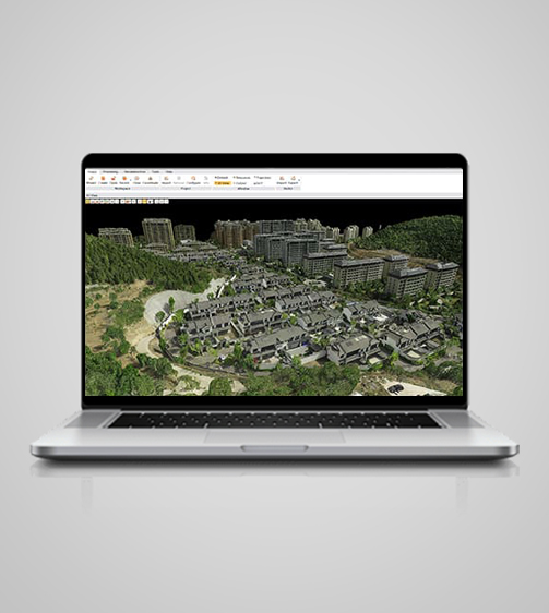
The AlphaUni 20 is a cost-effective, premium-class multi-platform mobile mapping system that embodies TMETNAV’s advanced LiDAR technology. Designed for precise point cloud generation, it is ideal for applications including pavement assessment, highway maintenance, and asset management through vehicle-based surveying.
- Coordinate system preset before shipping
- Dispatch in 3 to 7 working days
- 12 month warranty
Description
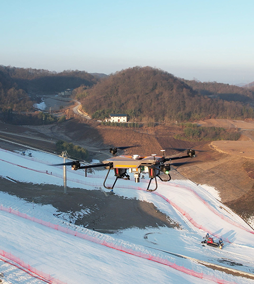
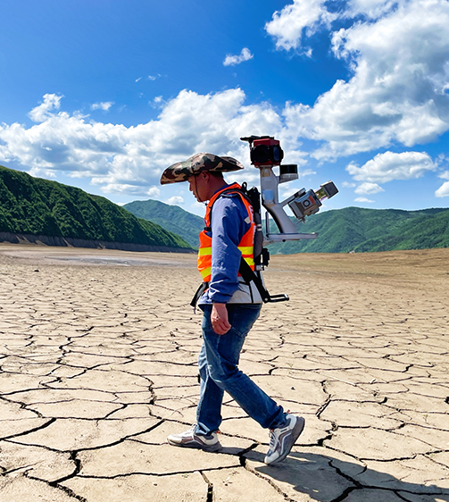
The AlphaUni 20 is a cost-effective, premium-class multi-platform mobile mapping system that embodies TMETNAV's advanced LiDAR technology. Designed for precise point cloud generation, it is ideal for applications including pavement assessment, highway maintenance, and asset management through vehicle-based surveying. In airborne applications, the AU20 increases survey efficiency with excellent vegetation penetration, long measurement range, and high data accuracy and density.
Specifications
| Laser Scanner | |
|---|---|
| Range | 1500 m |
| Scanning rate | 2.000.000 pulses/sec |
| Field of view | 360° |
| Returns | Up to 16 |
| Positioning | |
| GNSS | Full constellations |
| IMU | 600 Hz |
| Precision max. | < 5 cm H / < 5 cm V |
| Environmental | |
| Operating | -20°C to +50°C |
| Protection rating | IP64 |
| Physical | |
| Weight | 2,82 kg |
| Size | 162 x 141 x 161 mm |
| Performances | |
| Memory | 512 GB |
| Imaging | |
| Resolution | 45MP |
| FOV | 81.2*59.5 / 53.4*37.8 |
| Focal length | 21 mm / 35 mm |
Downloads
Related products
Get a quote for AlphaUni 20 Laser Scanner
Pricing, lead time and shipping cost to your door in one reply, within 24 hours.