



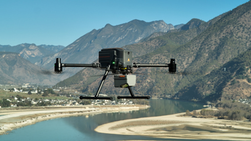
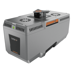
AlphaAir 6 Laser Scanner
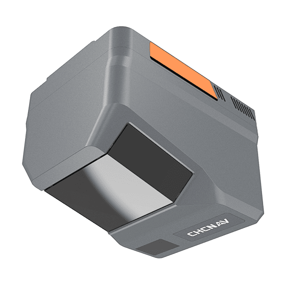
The TMETNAV AlphaAir 6 (AA6) airborne LiDAR system is designed for efficient aerial surveying in complex and high-relief terrain. Combining next-generation prism scanning technology with a high-grade inertial navigation system, the AA6 delivers a maximum ranging capability of up to 2,100 m and supports typical operating altitudes of 100–600 m AGL.
- Coordinate system preset before shipping
- Dispatch in 3 to 7 working days
- 12 month warranty
Description
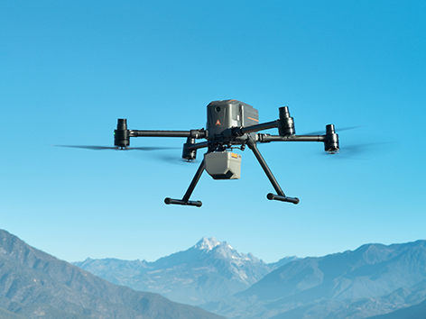
The TMETNAV AlphaAir 6 (AA6) airborne LiDAR system is designed for efficient aerial surveying in complex and high-relief terrain. Combining next-generation prism scanning technology with a high-grade inertial navigation system, the AA6 delivers a maximum ranging capability of up to 2,100 m and supports typical operating altitudes of 100–600 m AGL. Powered by 5th-generation waveform processing, it enhances point cloud density and data completeness. Its lightweight integrated design improves flight endurance, while open interfaces ensure compatibility with multi-rotor UAV, fixed-wing UAV, and manned aircraft platforms.
Specifications
| Laser Scanner | |
|---|---|
| Range | 2100m @80%, 960m @10% |
| Scanning rate | 2,000,000 pulses/sec |
| FOV | 90° |
| Returns | Up to 16 |
| Imaging | |
| Resolution | 25 MP(6144 × 4096)or 100 MP(12288 × 8192) |
| FOV | 74° |
| Focal length | 12 mm |
| CMOS Size | 4/3 inch |
| Positioning | |
| GNSS | Full constellation |
| IMU | 500 Hz |
| Precision max. | < 5 cm H / < 5 cm V |
| Environmental | |
| Operating | – 20°C to + 50°C |
| Protection rating | IP64 |
| Physical | |
| Weight | 1.35 kg |
| Size | 155 mm × 120 mm × 129 m |
| Performances | |
| Memory | 512 GB |
Downloads
Related products
Get a quote for AlphaAir 6 Laser Scanner
Pricing, lead time and shipping cost to your door in one reply, within 24 hours.