





vRTK GNSS RTK System
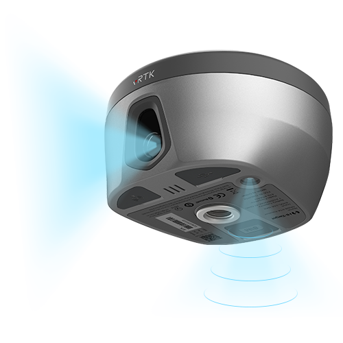
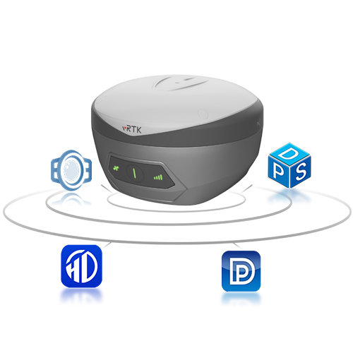
vRTK GNSS RTK System Equipped with professional dual cameras, vRTK is TMETNAV’s first lightweight and innovative visual RTK receiver product, which not only enables non-contact image surveying, breaking through the objective constraints of previous work, but also improves the speed of stakeout with the function of Live View Stakeout. It greatly improves the work efficiency of engineering users.
- Coordinate system preset before shipping
- Dispatch in 3 to 7 working days
- 12 month warranty
Description
vRTK GNSS RTK System Equipped with professional dual cameras, vRTK is TMETNAV’s first lightweight and innovative visual RTK receiver product, which not only enables non-contact image surveying, breaking through the objective constraints of previous work, but also improves the speed of stakeout with the function of Live View Stakeout. It greatly improves the work efficiency of engineering users.
Specifications
| Tilt Survey Accuracy | 8mm+0.7mm/°tilt |
| Channels | 1408/1760 |
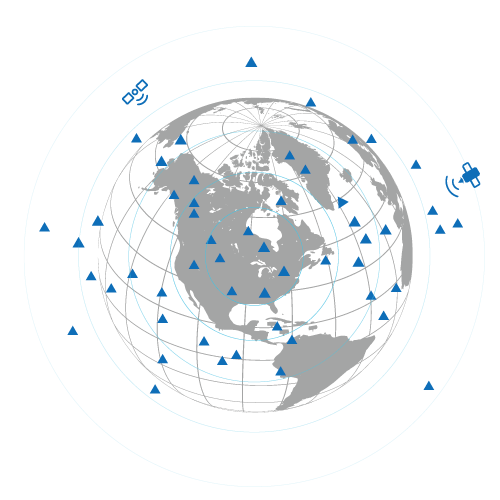
| Signal tracking | BDS/GPS/GLONASS/GALILEO/ QZSS/NavlC/SBAS |
| Image Stakeout Accuracy | 2cm |
| Image Survey Accuracy | 2cm ~ 4cm |
| Data Storage | Built-in 8GB ROM |
Downloads
Related products
Get a quote for vRTK GNSS RTK System
Pricing, lead time and shipping cost to your door in one reply, within 24 hours.