
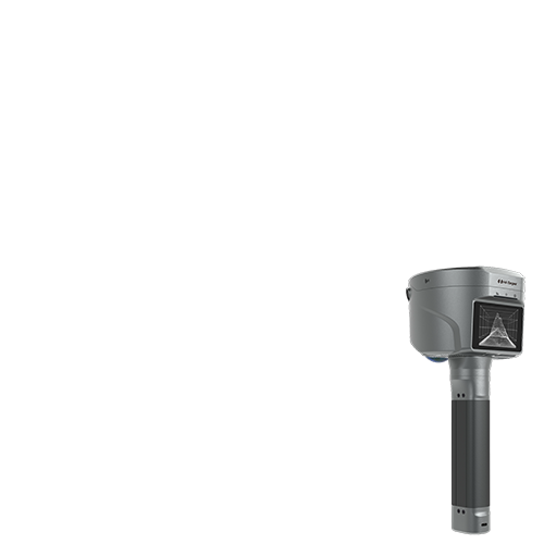


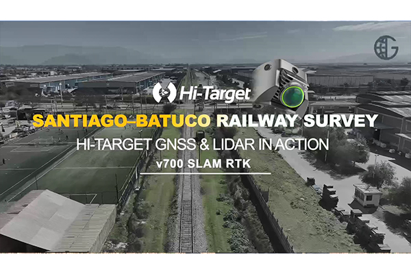
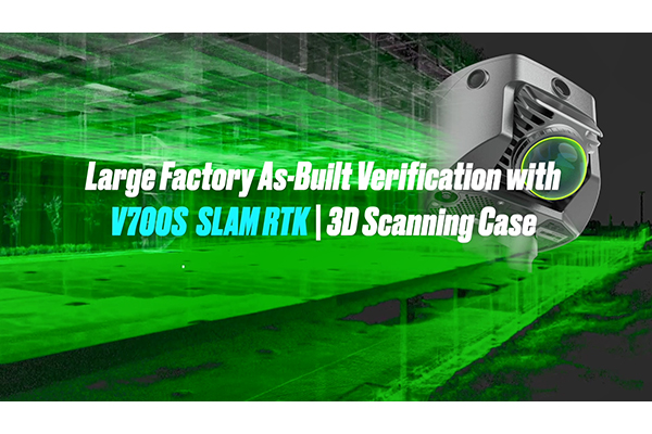
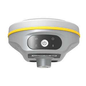
V700S SLAM RTK
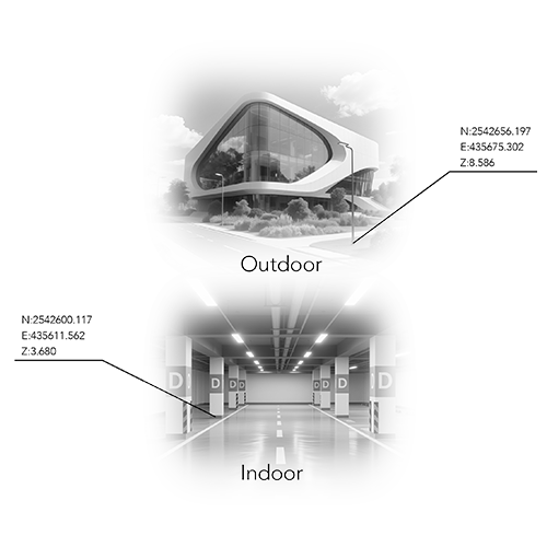
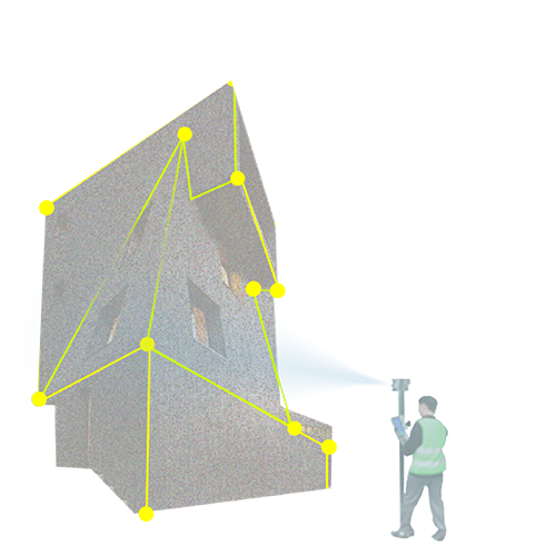
V700S New Generation Engineering Surveying System V700S integrates advanced RTK and SLAM technologies to deliver centimeter-level accuracy in both open environments and GNSS-denied areas, enabling efficient, reliable surveying anywhere.
- Coordinate system preset before shipping
- Dispatch in 3 to 7 working days
- 12 month warranty
Description
V700S New Generation Engineering Surveying System V700S integrates advanced RTK and SLAM technologies to deliver centimeter-level accuracy in both open environments and GNSS-denied areas, enabling efficient, reliable surveying anywhere.
Specifications
| Tilt Survey Accuracy | 8mm+0.3mm/°tilt |
| Channels | 1408 |
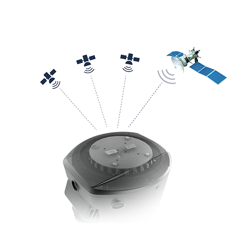
| Signal tracking | BDS/GPS/GLONASS/GALILEO/ QZSS/NavlC/SBAS/PPP |
| Laser Scanner Range | 1~ 40m@10% 0.1~ 70m@80% |
| Data Storage | Built-in 512GB ROM |
| Image measurement | 5cm Accuracy |
Downloads
Related products
Get a quote for V700S SLAM RTK
Pricing, lead time and shipping cost to your door in one reply, within 24 hours.